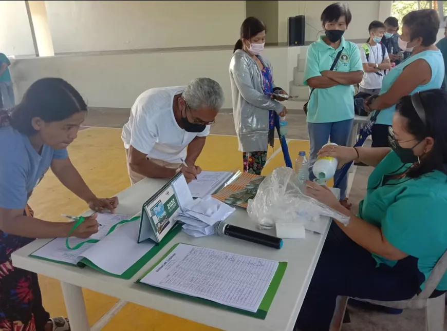
Farmer registry
RSBSA-aligned registration and updating
Maintain personal information, supporting documents, and farmer record changes.
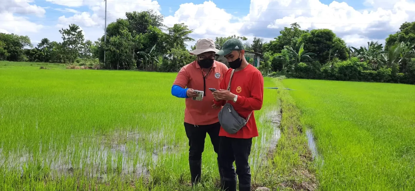
Office for Agricultural Services
One secure municipal workspace for farmer registration, farm parcels, commodities, agricultural services, and evidence-based planning.
These are functions available inside FMIS. They organize the office's existing records and workflows without claiming services that are not configured in the system.
Maintain personal information, supporting documents, and farmer record changes.
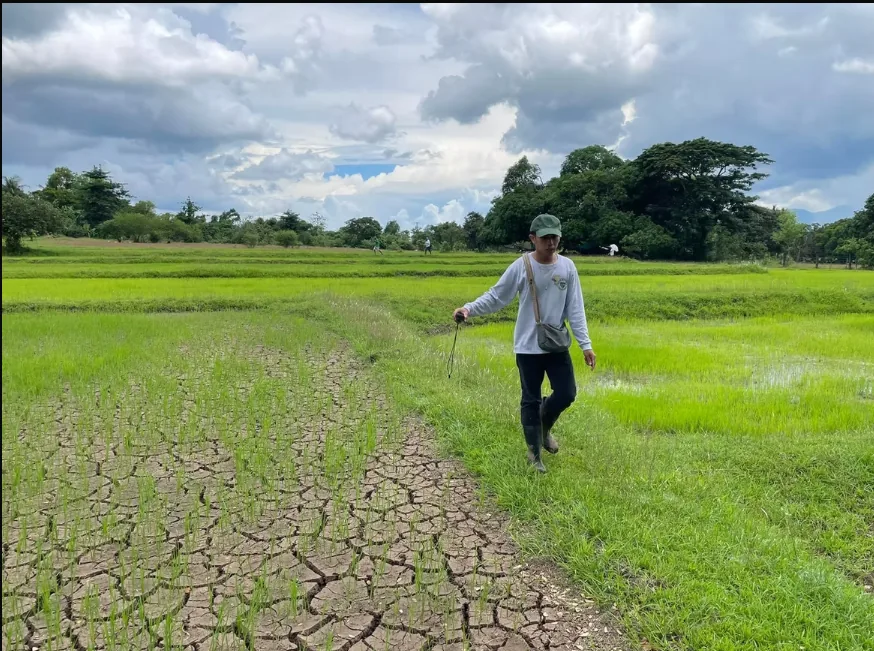
Record Rosario parcels, map locations, commodities, and parcel updates.
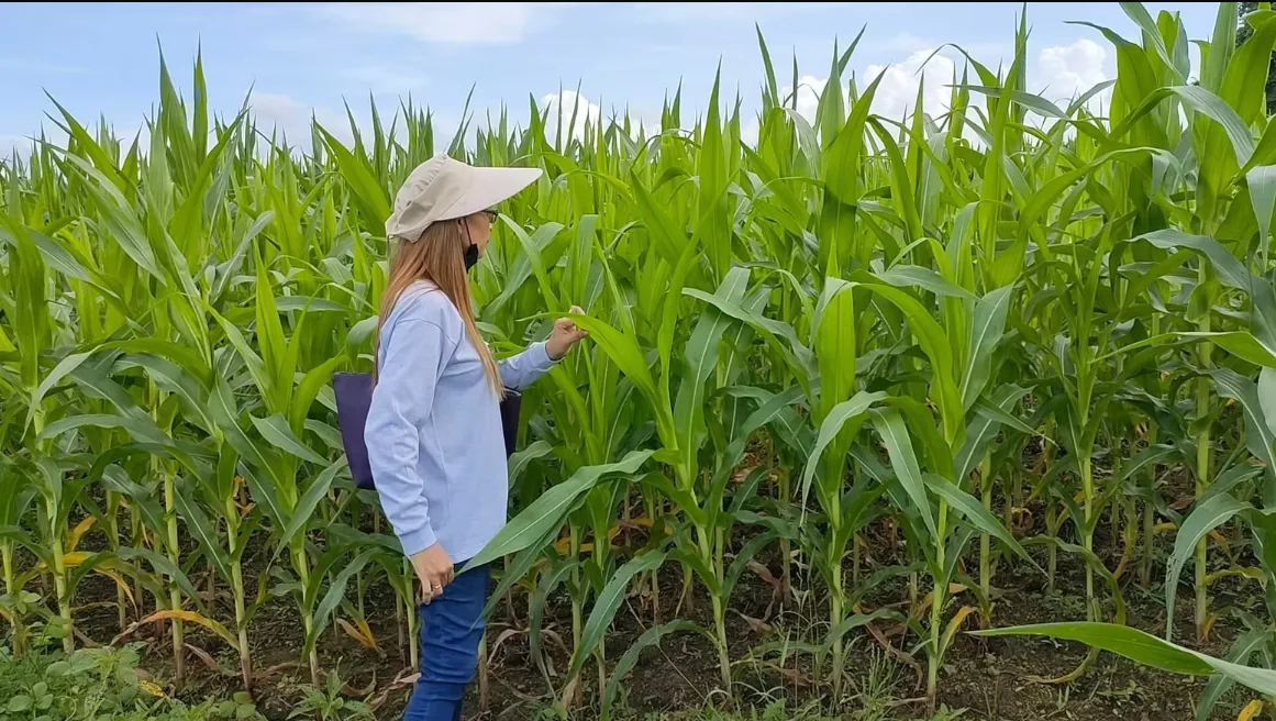
Review maintained farmer and commodity data through filters, charts, and exports.
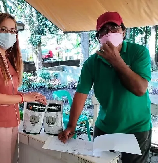
Record the requested service, priority, assigned staff, progress, and final status.

Keep previous and new values together with the responsible user, date, and reason.
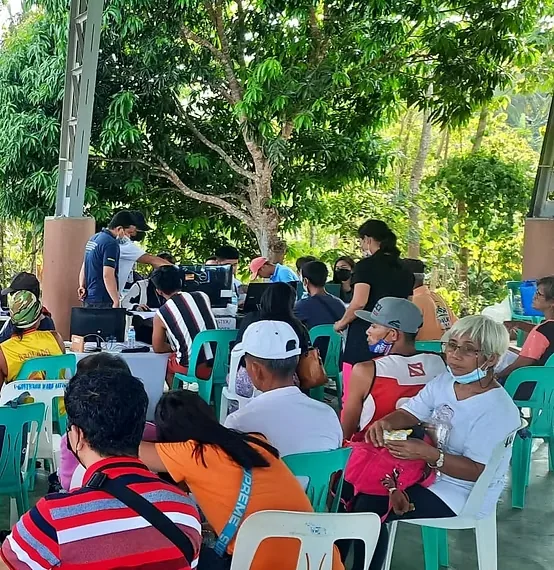
Administrators manage the system while staff handle farmer and agricultural records.
The interface stays familiar and straightforward while connecting records that staff previously had to review separately.
Registration, personal updates, supporting documents, and update history.
Rosario-only maps, terrain or satellite pins, parcel tenure, and commodities.
Requests, priorities, assigned personnel, progress, and clear status tracking.
Farmer statistics, commodity trends, filtered exports, weather, and seasonal guidance.
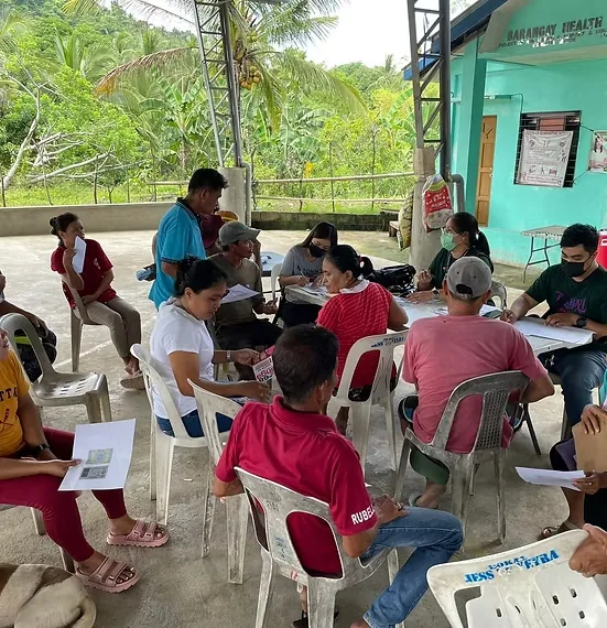
FMIS supports the office’s responsibility to maintain farmer information, coordinate agricultural assistance, and use local data for responsible planning.